Day Seven: Rjukan Fellstue to Vemork
After a leisurely breakfast, I retrace my tracks from yesterday back to the final section of the Saboteurs' route. For only the second time during my trip, I attach the skins to my skis to tackle the steep ascent up to the col. Sweating at -10ºC is a strange sensation, the voice in my head is screaming at me to take off a layer, although I know this is not wise. So I try to occupy my mind with imagining what this must have been like seventy years ago...
The descent towards Rjukan begins as a wide and gentle slope, but soon the trees are coming thick and fast... The camber of the slope changes as the col closes in. I am now descending a steep, narrow gorge filed with trees and huge boulders.
With approximately one kilometre to go the route is just too narrow and steep for me to ski with any type of control. I remove my skis and slither down the side of the valley on foot. Through the trees, I spot the Vemork Hydro Plant perched on top of a cliff on the far side on a seemingly impenetrable gorge. How the hell am I going to get there!?!
As I slide further down the valley wall, I discover a small plaque confirming that I am indeed on the Saboteurs' Route. From here, there is a grand view of the Vemork Hydro Plant. The world's largest power station of the time in 1911 still looks as impervious to an attack as I imagine it was seventy years ago.
Soon after I pop out of the trees and join a road. With my skis now strapped to my bag, I slowly walk along the road to Våer. There is one road in and out of the Vemork Hydro Plant, which spans over a deep chasm with steep icy walls. As I cross the rickety old bridge, I wonder how these brave, resilient men managed, on the evening of the 27th February 1943, to cross this huge expanse.
The answer to this question and many more lies in the many interesting exhibitions in the museum which now fills the building of the old Vemork Hydro Plant. Before entering I sit at the memorial to the Heroes of Telemark and take a moment to contemplate my journey...
Travel is a demanding feat on the Hardangervidda Plateau. Here, man is not the measure of things. Here we are visitiors, and it is only fitting that we should feel small in such surrounding. So few people wander into the remote corners of the World, I wonder how many more will come to follow? Who else will put on a pair of skis and break trails in pursuit of those secrets told only by wild places?
Once inside the museum, I soak up the history and decide that here is the perfect point to end my story. Before I go, I will leave you with one of my favourite quotes by Benjamin Franklin:
“Either write something worth reading or do something worth writing.”
Hopefully with this trip I have done both :)
Trip by numbers...

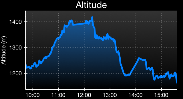
Distance: 8.8km
Vertical: 833m